Purpose of Geographic Information Systems?
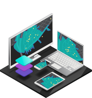
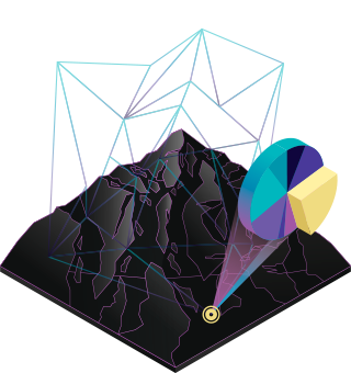
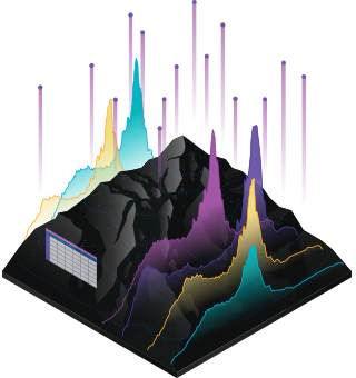
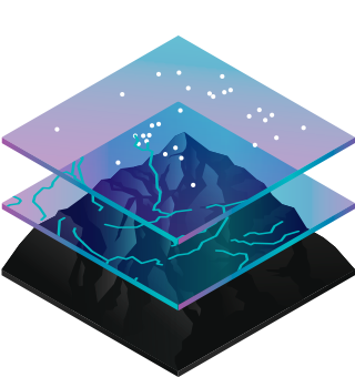
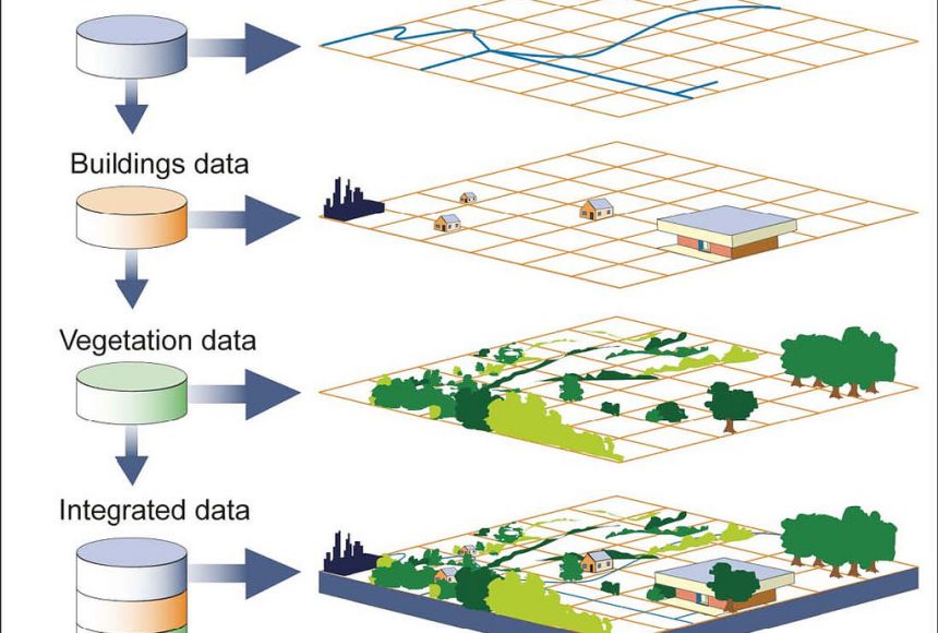
Geographic Information Systems, or GIS, overlay data on a map. By connecting data with geography, GIS programming helps people understand how data relates to a specific location. Visualizing data geographically can help people spot patterns that would have been difficult or impossible to detect in a huge spreadsheet.
GIS maps are used in a variety of ways, from tracking climate change to analyzing crime patterns. Many companies use Geographic Information Systems, and GIS technology is integrated into nearly every industry and government organization. Environmentalists were some of the earliest adopters, using GIS to track melting glaciers and deforestation. The agricultural industry relies on GIS to map crop and soil types.